Tungabhadra River
Tungabhadra River |
About: |
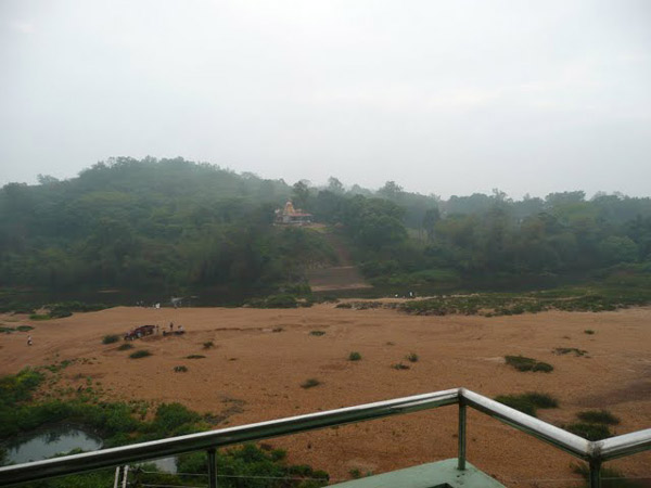
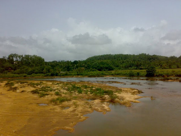
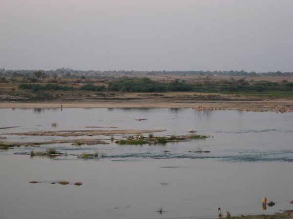
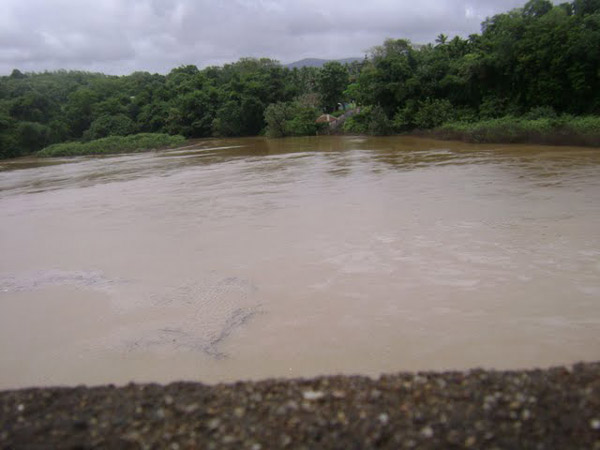
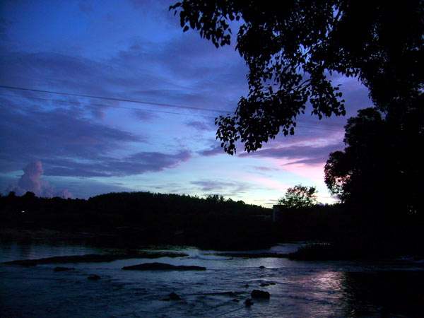
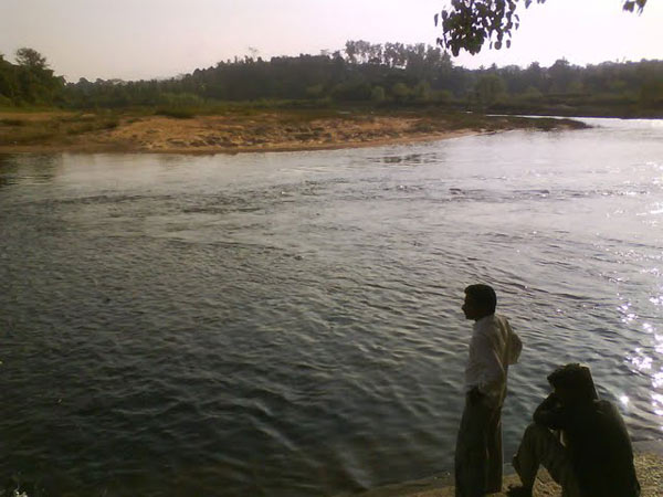
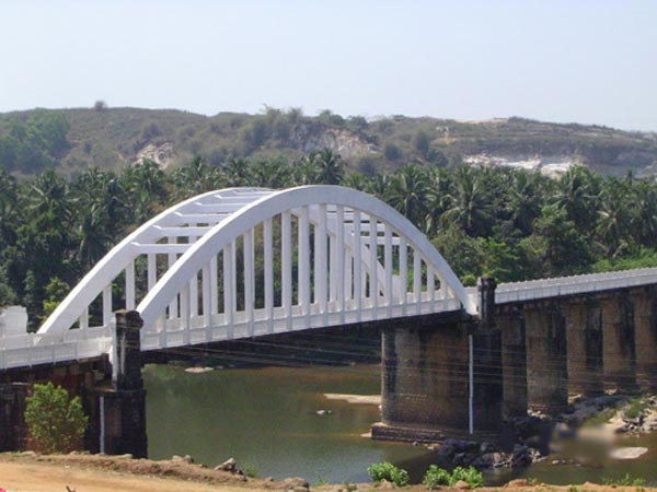
| The Tungabhadra River is a sacred river in southern India that flows through the states of Karnataka and part of Andhra Pradesh to merge with the larger Krishna River in Andhra Pradesh.It is the chief tributary of the Krishna River. In the epic Ramayana the Tungabhadra river was known by the name of Pampa (though another river in Kerala now bears the name Pampa.)
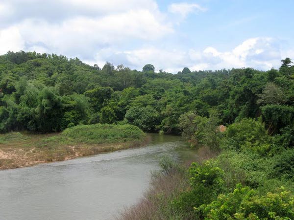
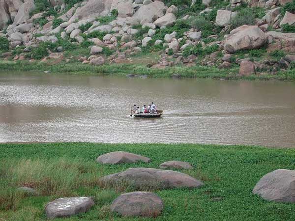
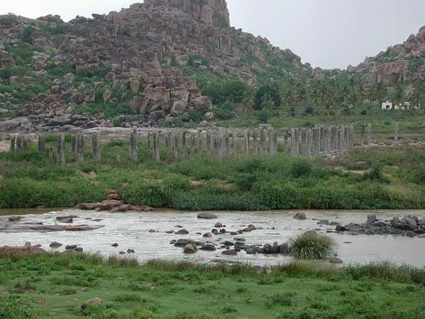
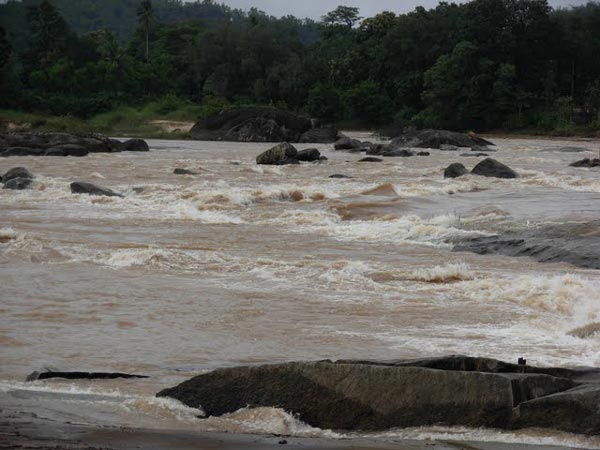
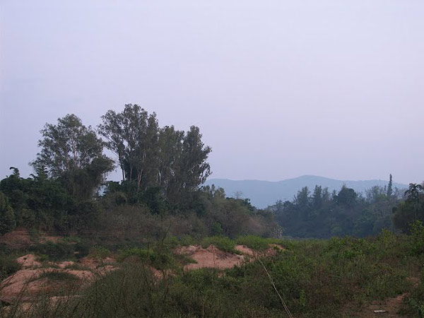
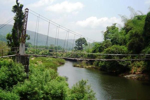
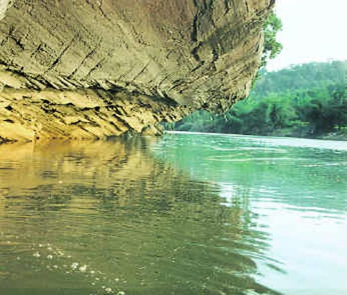
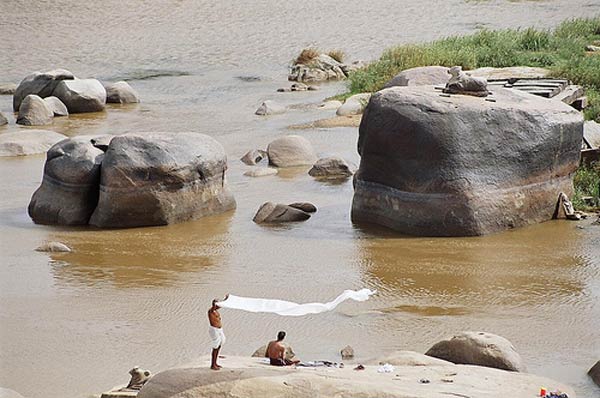
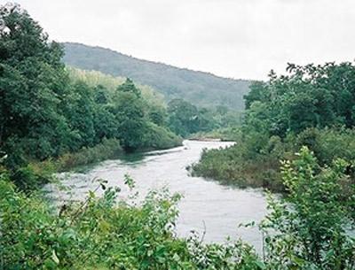
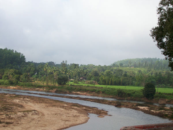
The Tungabhadra River is formed by the confluence of two rivers, the Tunga River and the Bhadra River , which flow down the eastern slope of the Western Ghats in the state of Karnataka.It then takes a northeasterly direction through rugged ridges formed by boulders piled on ancient granite outcroppings over the elevated plateau that dominates peninsular India, the Deccan Plateau. The wilderness is extremely beautiful. Piles of granite in varying colors of grey, ochre and pink dominate the landscape. The river has cut through weaker rocky substrata of the Hampi landscape and created a narrow gorge where granite hills confine the river in a deep ravine. In this setting the ruins of Vijayanagara and Hampi, the seat of power of the Vijayanagar empire, overlook this holy river, creating a mythological landscape merging sacred traditions about a multitude of significant divinities. The granite outcrops slowly disappear as the river flows south and the land opens into a long, broad plain ending at the rising slopes of the Sandur hills, rich in iron and manganese, beyond which is the town of Hosapete. A dam, the Tungabhadra Dam, was constructed at Hosapete in the middle of the 20th century to harness the river water, aiding the growth of agriculture and industry in this region. The Tungabhadra River then flows east, joining the Krishna in the Andhra Pradesh state. From here the Krishna continues east to empty into the Bay of Bengal. x The wedge of land that lies north of the Tungabhadra River, between the Tungabhadra and the Krishna, is known as the Raichur Doab. Tungabhadra is a major river in the south Indian peninsula. Hampi is located on the south bank somewhere in the middle of this river's path. In this area the river takes a number of twists are turns owing to the rocky terrain. The river has immense significance in forming the political & religious history of Hampi. The river along with along with the boulder-strewn hills formed the northern barrier of the capital. It was not easy for an invading army cross the river without the fate of a sure defeat. The river is in fact formed by the union of two rivers Tunga and Bhadra and hence the name. Both Tunga & Bhadra Rivers are originated on the eastern slops of the Western Ghats. Tungabhadra flows in a more or less northwest direction before joining the eastern river Krishna. The Krishna River finally ends into the Bay of Bengal. In modern India a huge dam and hydroelectric project is constructed across Tungabhadra (about 20 kilometer southwest of Hampi), curtailing the original vigor of the river in this part. The Vijayanagara kings took advantage of the river by constructing a host of irrigation canals and aqueducts. A highly networked water supply system fed the manmade water bodies in the urban core of the palace area. Many of the ancient canals are still in use to irrigate the surrounding agriculture fields. |
Location info: |
| Address:The Tungabhadra River is a sacred river in southern India that flows through the states of Karnataka and part of Andhra Pradesh to merge with the larger Krishna River in Andhra Pradesh. |
| District:Hampi |
| Nearest City:Hampi |
| Best time to visit: |
Climate/Weather: |
History: |
Interesting things to do: |
Interesting things to Visit: |
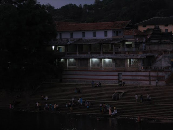
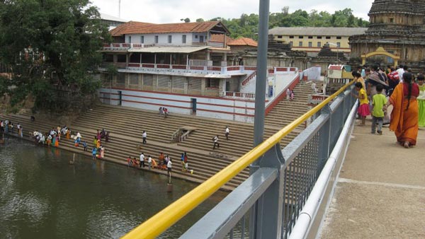
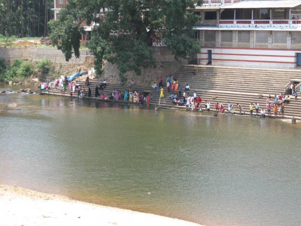
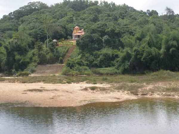
| Temples:- 108 Shiva lingas carved at the bank of the river. There are a number of ancient and holy sites on the banks of the Tungabhadra River. At Harihara there is a temple dedicated to Harihareshwara. Surrounding the modern town of Hampi, are the ruins of Vijayanagara, the site of the powerful Vijayanagara Empire's capital city and now a World Heritage Site. The site, including the Vijayanagara temple complex ruins, are being restored. Alampur, on the left - northern bank of the river, known as Dakshina Kashi in Mahaboobnagar Dist. nbout 25 km from Kurnool is another important place, wherein the Early Chalukyas built a cluster of temples. The Nava Brahma Temples complex is one of the earliest models of temple architecture in India. Jogulamba is the presiding deity. The Moola Brindavana of Guru Raghavendra is located on banks of Tungabhadra at Mantralayam.
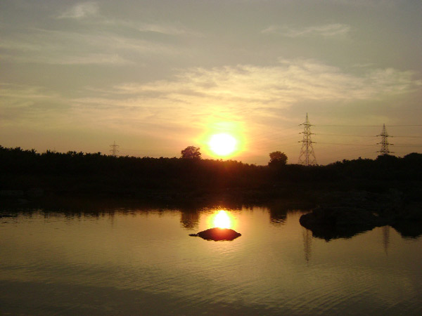
Dams:- About 15 km downstream from Shimoga at Gajanur across the River Tunga a dam is constructed. At Lakkavalli about 15 km upstream of Bhadravati across the Bhadra a dam is constructed. Both are multipurpose dams and irrigate lands in Shimoga, Chikkamagalur, Davanagere and Haveri. Dam on River in Hosapete, Bellary Dist TungaBhadra dam is constructed across river Tungabhadra, a tributary of River Krishna. The dam is built near the town of Hosapete in Karnataka. It is considered as a multipurpose dam or project. Its storage capacity is 135 Tmcft. Owing to siltation the capacity has been reduced by about 30 Tmcft. If there is seasonal and late rains, the dam distributes the estimated quantity of 235 Tmcft. The dam is filled as when the water is let into the cnals during the rainy season. The main architect of the dam was Dr. Thirumalai Iyengar, an engineer from Madras. As Tungabhadra Dam was constructed by him, so a general purpose hall in this place was named after him. Multipurpose dams are the one's which help in generation of electricity, irrigation of land, Prevention and control of floods etc. It has become a picnic or tourist spot over the years. The dam is near to world famous heritage site Hampi. At Sunkesula, about 25 km upstream from Kurnool a barrage was constructed at about 1860s by the British Engineer, hailed as Bhagiratha for Andhras, Sir Arthur Cotton. Originally was intended to be used for navigation also. As the road and rail transportation increased it is now an irrigation project, for Kurnool and Kadapa Districts, carrying water through the renowned K.C.Canal.(Kurnool - Cuddapah canal- Till recently Kadapa was spelled "Cuddapah"). Recently the barrage is replaced by the Kotla Vijayabhaskara Reddy Project- a permanent dam. It impounds about 15,000,000,000 cubic feet (0.42 km3) of water and irrigates about 300,000 acres (1,200 km2) of land in Kurnool and Kadapa districts. |
Mobile range info: |
How to reach? |
| Nearest Railway Station: |
| Nearest Airport: |
| Road Transport: |
Nearest Visiting places: |
Nearest Petrol Pump: |
| Hampi |
Hotels/Lodge/Accommodation: |
Things to carry: |
Tips & Suggestions: |
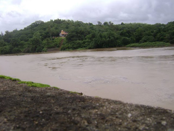
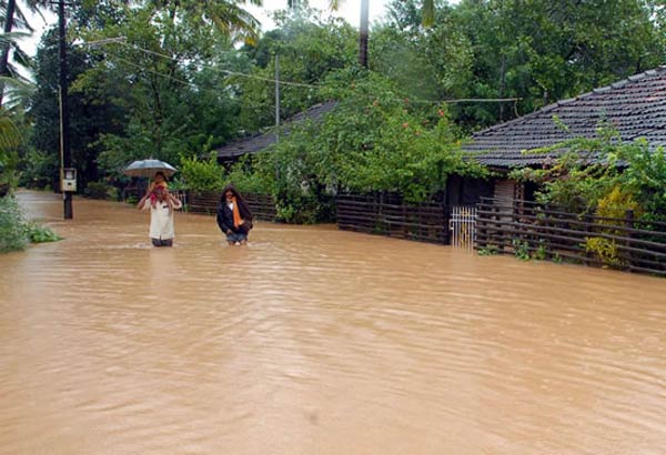
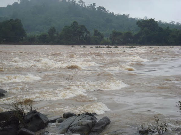
| Problems:- Industrial pollution has damaged the Tungabhadra river. Industries and mining located on its banks in the Chikkamagalur, Shimoga, Davangere, Haveri, Bellary, Koppal and Raichcur Districts of Karnataka and Kurnool and Mahaboobnagar in Andhra Pradesh (almost all the districts along the course of the river) generate enormous amounts of effluents. According to Mr. M. Shankar, "It is disturbing to note that nearly three crores of litres of effluents were being released to the Tunga from the city, Shimoga)every year." (The Hindu, June, 06, 2008). This is the contribution of one city, which like Bhadrvathi and Hospet, cannot boast of being an industrial city. As such it is one of the most polluted river in the country.
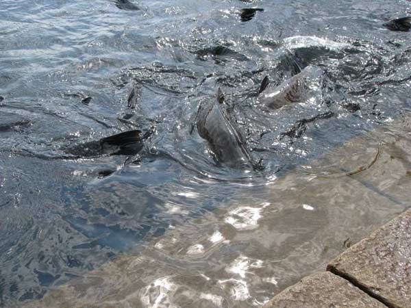
Down river from the industries, the water has turned dark brown and has a pungent odour. Altogether, the Tungabhadra River pollution has affected 1,00,000 people in the sub-basin as most villages used the river water, previously obtained through the ancient tank system, for drinking, bathing, irrigating crops, fishing and livestock water. The livelihood of village fishermen has been harmed by regular fish kills that have exhausted Tungabhadra's fisheries |
Help Line/Phone Number: |
| Police Station:Hampi |
| Nearest Hospital:Hampi |
| Society/Community Phone Number |
Tungabhadra River Nearest Attraction |
| Hampi Archeology |
| Hampi, as it is popularly known today was the medieval capital of the Hindu empire Vijayanagara (the City of Victory). Hampi in the Karnataka state of India is listed as one of the UNESCO World Heritage Sites.....more |
| Hampi Historical |
| Listed as a World Heritage Site, Hampi the city of ruins is one of the most captivating historical sites of South India. It houses as many as 500 monuments, each with a story behind it, reflecting a fascinating history reaching the pinnacle of glory and then stumbling to a decline of utter neglect.....more |
| Ittagi |
| There is a huge tank 7 km from Kukkanur in Ittagi village facing this tank is Mahadeva temple and a hist of small temples. It has a classic later Chalukyas plan, with a garbagruha (shrine) and a front hall (antarala) leading to the mandapa.....more |
SELECT YOUR HOLIDAY DESTINATION
-
Aero Sports in Karnataka
-
Archaeology in Karnataka
-
Beaches in Karnataka
-
Bird Sanctuaries in Karnataka
-
Bouldering Spot in Karnataka
-
Camping in Karnataka
-
Cave Explorations in Karnataka
-
Culturals Place in Karnataka
-
Dams in Karnataka
-
Districts Of Karnataka
-
Fairs in Karnataka
-
Festivals in Karnataka
-
Go-Karting in Karnataka
-
Hill Stations in Karnataka
-
Historical Places in Karnataka
-
Holiday Resorts in Karnataka
-
Islands in Karnataka
-
Landscape in Karnataka
-
Mountain Biking in Karnataka
-
National Parks in Karnataka
-
Orbit Network
-
Pilgrims Destinations
-
Para-sailing in Karnataka
-
River rafting in Karnataka
-
Rivers in Karnataka
-
Rock Climbing in Karnataka
-
Safari in Karnataka
-
Temples in Karnataka
-
Trekking in Karnataka
-
Water Sports in Karnataka
-
Waterfalls in Karnataka
-
Wildlife Sanctuaries in Karnataka