Ombaattu Gudda
Ombaattu Gudda |
Nearest Towns: |
| Hasan |
Location info:India>Karnataka>Hasan |
| Distances: From Bangalore 350+ km |
| Camping Sites: Grass lands on the hill top. |
| Trek Length: 24Km or 8 Hours up hill and 2 hours downhill. |
Route Info: |
|
Bangalore>Sakleshpur>Gundiya check post>Ombattu Gudde>Hosakere>Mudigere>Bangalore Over night journey to Gundya check post ~ 270 Kms By Bus.Reach Gundya Village - Kabbinhole river - Ombattu Gudda base ~ 14 km trek.climb ombattu gudda peak - Trek to Lakshmi-Saraswathi estates ~ 15 km trek.Mudigere - Hassan ~ 40 km Bus |
Best Time To Visit: |
| Any time except rainy seasons |
Worst Time To Visit: |
| Rainy Season |
Difficulty Level: |
| Difficult |
Summary: |
|
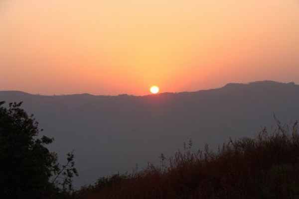
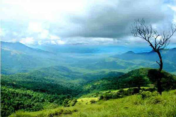
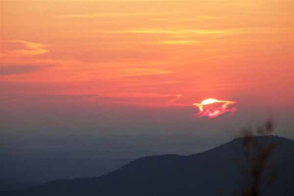
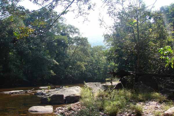
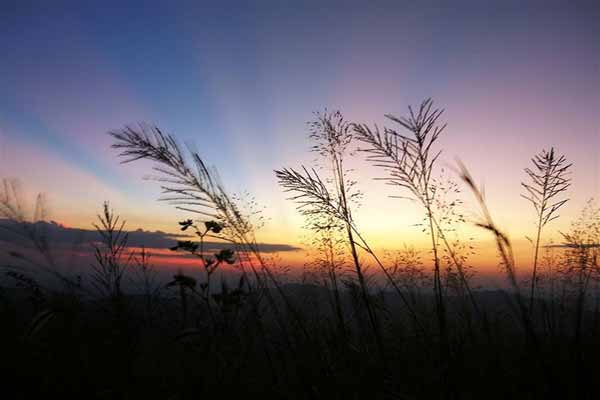
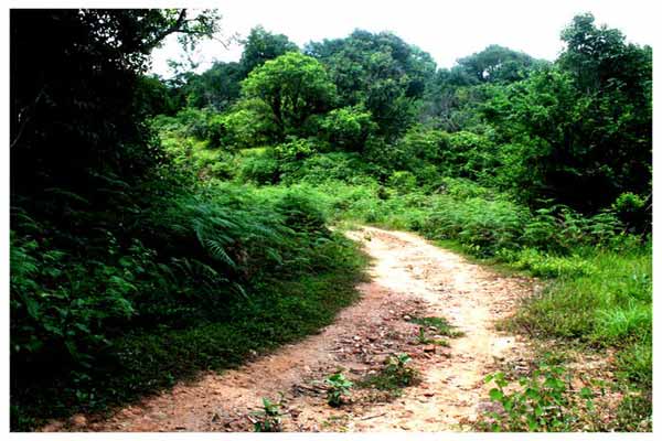
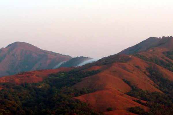
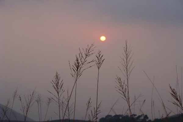
Ombattu Gudda is a peak at about 971 meters above sea level, and at a distance of about 20 kms from Gundiya Checkpost, inside the Kabbinhole Reserved Forest. The peak is so named because there are 9 prominent humps on top, almost in a straight line (Ombattu in Kannada means nine, while Gudda means hill). Ombattu Gudda peak is an uphill trek of approximately 6 hours from Gundiya checkpost. The trek starts along the NH27 for about an hour and then we say good-bye to civilization. The initial route winds along a jeep track where you would come across interesting wildlife and pebbled Kabbihole river! The path mostly goes along a stream where we can practice some diving. The forest is extremely virgin with huge bamboos and dense foliage playing host to a range of wildlife from the tiger, leopard, jungle cat, barking deer to gaur, sloth bear and, of course, the wild elephant. |
Things To Look for: |
Things To Be Aware Of: |
| Take water and food along,and have to be beware of wild animals. |
References |
| http://usandeep.com/trekking/ombattugudde.html |
Important Phone Numbers : |
Permission: |
| No Permission |
SELECT YOUR HOLIDAY DESTINATION
-
Aero Sports in Karnataka
-
Archaeology in Karnataka
-
Beaches in Karnataka
-
Bird Sanctuaries in Karnataka
-
Bouldering Spot in Karnataka
-
Camping in Karnataka
-
Cave Explorations in Karnataka
-
Culturals Place in Karnataka
-
Dams in Karnataka
-
Districts Of Karnataka
-
Fairs in Karnataka
-
Festivals in Karnataka
-
Go-Karting in Karnataka
-
Hill Stations in Karnataka
-
Historical Places in Karnataka
-
Holiday Resorts in Karnataka
-
Islands in Karnataka
-
Landscape in Karnataka
-
Mountain Biking in Karnataka
-
National Parks in Karnataka
-
Orbit Network
-
Pilgrims Destinations
-
Para-sailing in Karnataka
-
River rafting in Karnataka
-
Rivers in Karnataka
-
Rock Climbing in Karnataka
-
Safari in Karnataka
-
Temples in Karnataka
-
Trekking in Karnataka
-
Water Sports in Karnataka
-
Waterfalls in Karnataka
-
Wildlife Sanctuaries in Karnataka