Kemmannugundi Trek
Kemmannugundi |
Nearest Towns: |
| Chikkamaglur |
Location info:India->Karnataka->Hassan |
| Distances:275 Kms from Bengaluru |
| Camping Sites: PWD Guesthouse there. |
| Trek Length: |
Route Info: |
|
Bangalore -> Nelamangala (Take left to take Mangalore road) ->Channarayapatna-> Hassan -> Belur-> Chikkamaglur-> Kemmannugundi -> Hebbe Falls -> Kemmannugundi -> Bababudan Giri -> Chikkamaglur-> Belur-> Hassan |
Best Time To Visit: |
| Any Time round the year, But monsoon is the best time to see the beauty of the place |
Worst Time To Visit: |
| When heavily raining since commuting and trek through the mountains becomes a problem |
Difficulty Level: |
| Moderate to Difficult. |
Summary: |
|
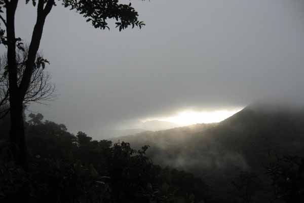
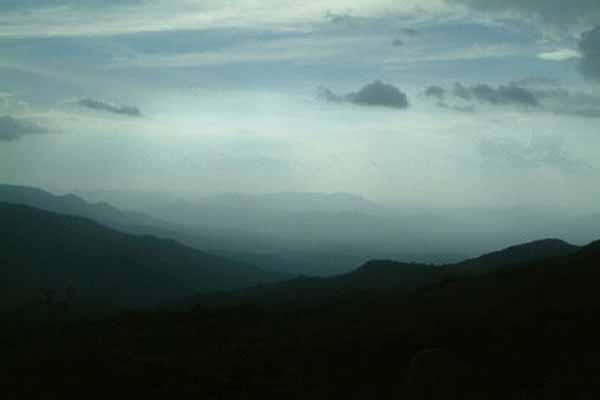
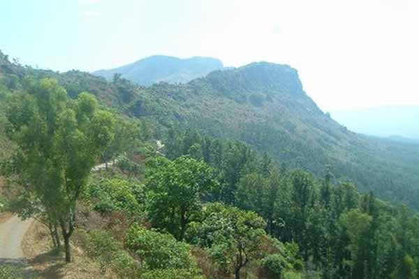
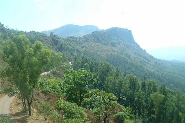
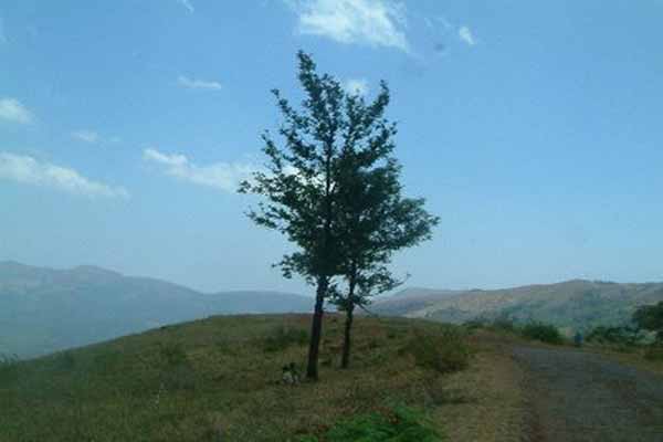
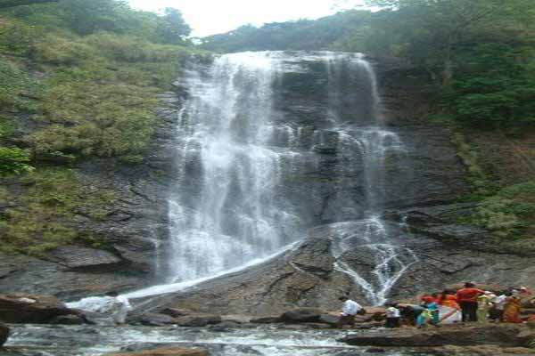
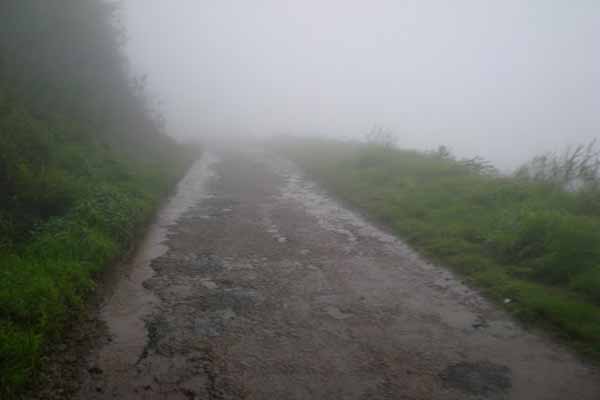
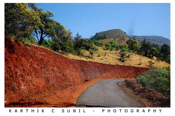
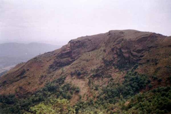
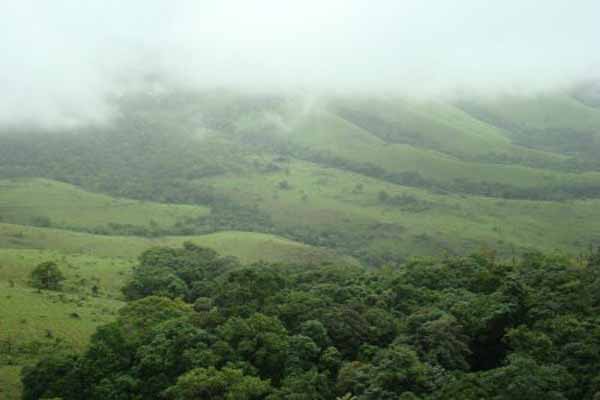
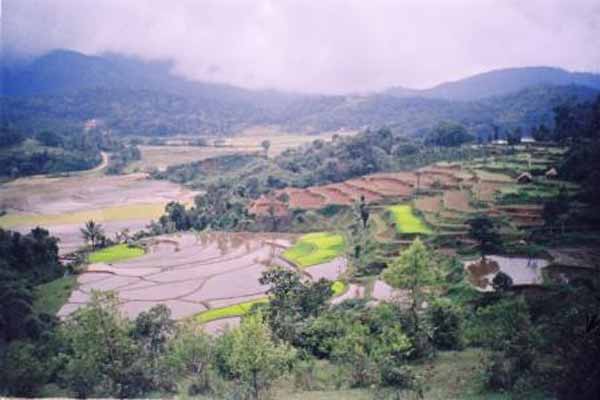
The picturesque hill station of Kemmangundi is located at a height of 1434 metres above sea level. It was the summer retreat of Krishnaraja Wodeyar IV. Ringed by the Baba Budangiri Range and blessed with silver cascades, mountain streams and lush vegetation, Kemmangundi's beautifully laid-out ornamental gardens and enchanting mountains and valleys views are a treat to the eye. The spectacular sunset view from the Raj Bhavan is a photographer's delight. For the adventurous at heart, Kemmangundi offers many peaks to scale and intricate jungle paths to explore. 275 Kms from Bengaluru, near Chickmagalur, Bababudangiri hills are heaven on earth in the Western Ghats . Luxuriant green grass, moss infested trees, sparkling waterfalls, rugged hills and pure air seems generously God gifted. The dense mist reduces the visibility to just a few meters. The wind almost blows you off the hill. Sometimes it appears as if the mountain has conspired with the rain and the wind and is trying to throw away the unwelcome intruders. Also the daytime temperature drastically falls from 34 C to below 10 C by nightfall. There are very exceptional and challenging treks between Mullayanagiri, Bababudangiri and Kemmangundi. The trek from Kaimara to Mullayanagiri is steep. Mullayanagiri is the highest peak in South India standing at 1919 m. The 15 Kms trek along the ridges of the steep mountains crosses the Attigundi waterfall and concludes at Bababudangiri. One route will take you to the beautiful hill station Kemmangundi via Gali kere. This trek is about 25 Kms. |
Things To Look for: |
Things To Be Aware Of: |
| Carry food and water along , if trekking the hills around beware of leeches. |
References |
| http://usandeep.com/trekking/kemmanagundi.html |
Important Phone Numbers : |
Permission: |
| No permission needed |
SELECT YOUR HOLIDAY DESTINATION
-
Aero Sports in Karnataka
-
Archaeology in Karnataka
-
Beaches in Karnataka
-
Bird Sanctuaries in Karnataka
-
Bouldering Spot in Karnataka
-
Camping in Karnataka
-
Cave Explorations in Karnataka
-
Culturals Place in Karnataka
-
Dams in Karnataka
-
Districts Of Karnataka
-
Fairs in Karnataka
-
Festivals in Karnataka
-
Go-Karting in Karnataka
-
Hill Stations in Karnataka
-
Historical Places in Karnataka
-
Holiday Resorts in Karnataka
-
Islands in Karnataka
-
Landscape in Karnataka
-
Mountain Biking in Karnataka
-
National Parks in Karnataka
-
Orbit Network
-
Pilgrims Destinations
-
Para-sailing in Karnataka
-
River rafting in Karnataka
-
Rivers in Karnataka
-
Rock Climbing in Karnataka
-
Safari in Karnataka
-
Temples in Karnataka
-
Trekking in Karnataka
-
Water Sports in Karnataka
-
Waterfalls in Karnataka
-
Wildlife Sanctuaries in Karnataka