Bhima River
Bhima River |
About: |
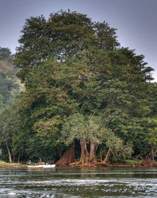
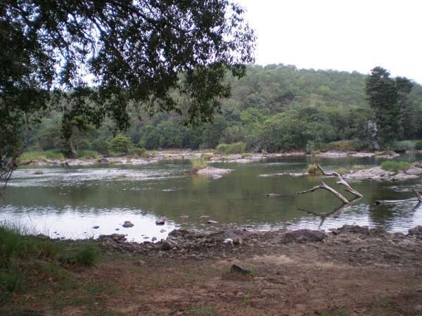
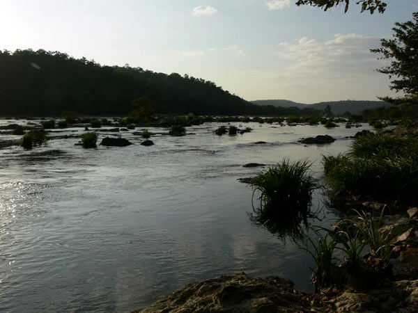
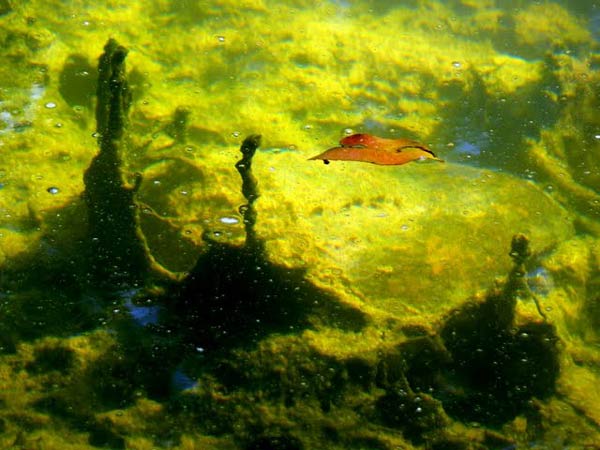
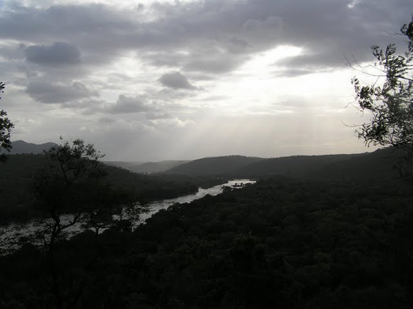
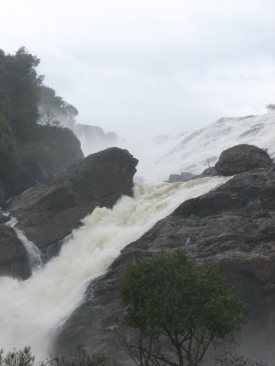
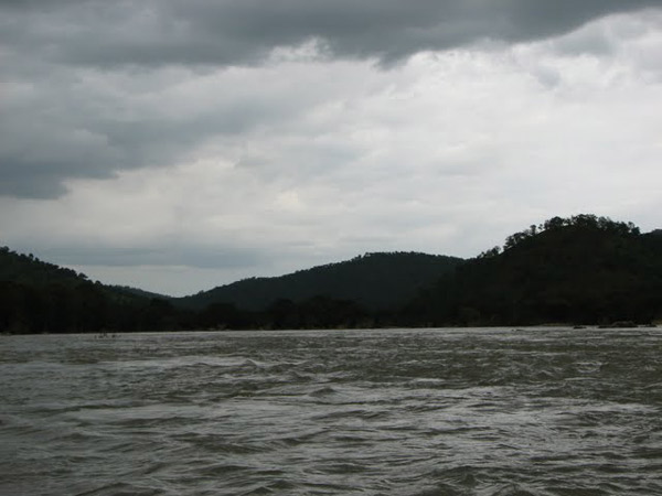
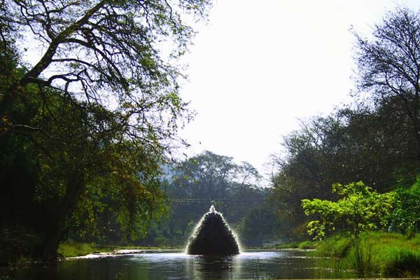
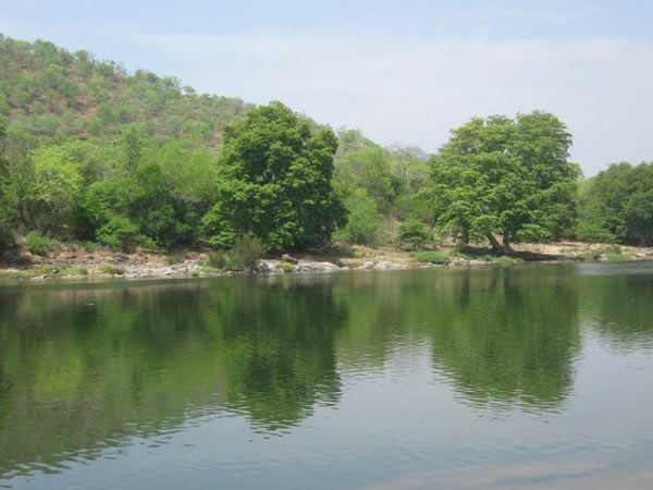
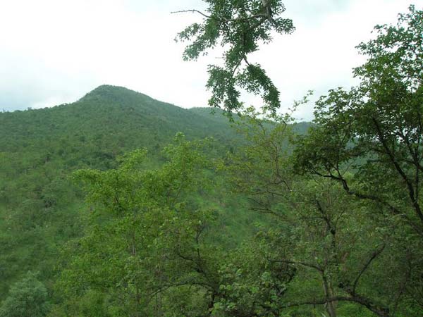
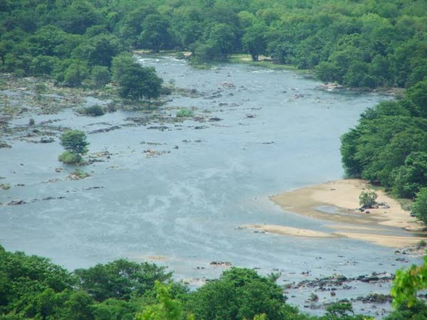
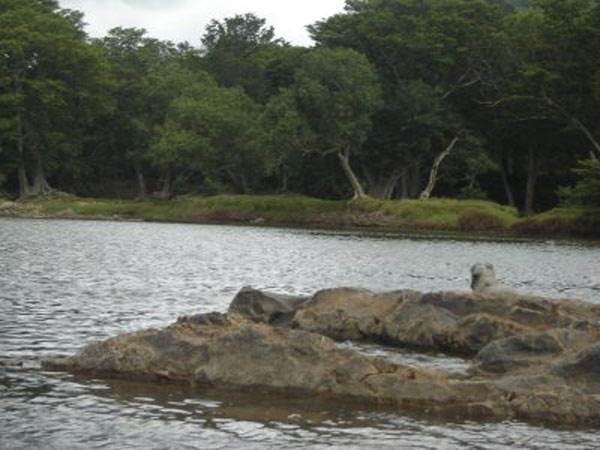
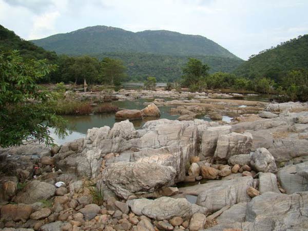
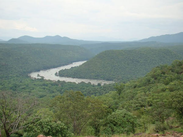
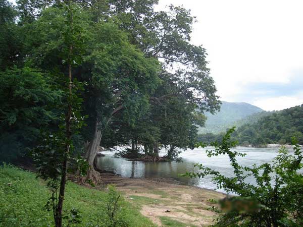
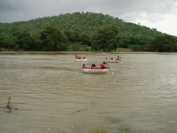
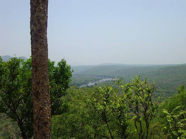
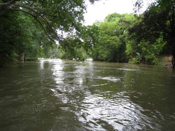
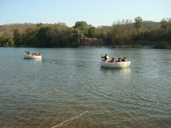
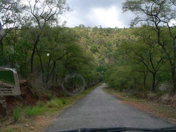
| The Bhima River originates in Bhimashankar hills near Karjat on the western side of Western Ghats, known as Sahyadri, in Maharashtra state in India. Bhima flows southeast for 725 km through Maharashtra, Karnataka, Andhra Pradesh states. Bhima is the most important tributary of the Krishna river, which is one of the two majors rivers in Maharastra, the other being Godavari River. Nira confluences with Bhima in Narsingpur, Solapur. Bhima is a major tributary of the Krishna River. Its banks are densely populated and form a fertile agricultural area.[1] The river is prone to flooding due to heavy rainfall during the monsoon season. In 2005 there were severe flood warnings. Bhima flows southeast for long journey of 725 km. During this long journey many smaller rivers confluence in it. Kundali River,Kumandala River,Ghod river, Bhama, Indrayani, Mula River, Mutha River and Pavna River are the major tributories of this river around Pune. Of these Indrayani, Mula, Mutha and Pawana flow through Pune and Pimpri Chinchwad city limits. Chandani, Kamini, Moshi, Bori, Sina, Man, Bhogwati and Nira are the major tributories of the river in Solapur. Of these Nira river confluences with Bhima river Narsingpur, in Malshiras taluka in Solapur district. The total basin area is 48,631 km2. The population residing along the banks of Bhima is approximately 12.33 million people (1990) with 30.90 million people expected by 2030. Seventy-five percent of the basin lies in the state of Maharashtra. major tributary of the Krishna River, flowing through Maharashtra and Karnataka states, western India. It rises in the Bhimashankar heights of the Western Ghats and flows southeastward for 450 miles (725 km) in Maharashtra to join the Krishna in Karnataka. Major tributaries are the Sina and Nira rivers. The Bhima drainage area is defined by the Western Ghats (west), the Balaghat Range (north), and the Mahadeo Hills (south). |
Location info: |
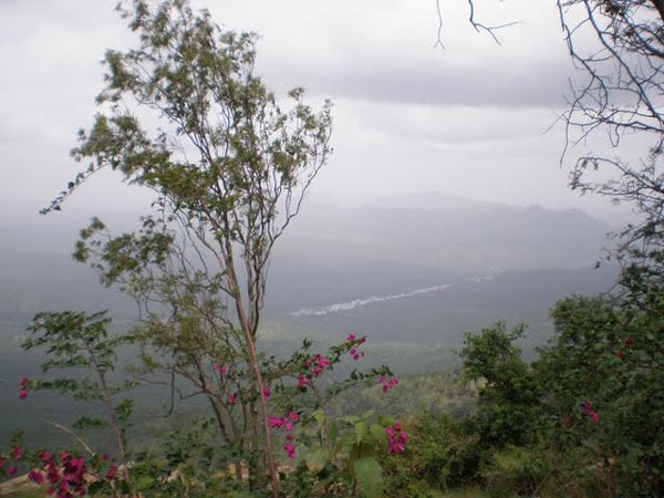
| Address:The Bhima River originates in Bhimashankar hills near Karjat on the western side of Western Ghats, known as Sahyadri |
| District:Pune district. |
| Nearest City:Karjat |
| Best time to visit: |
Climate/Weather: |
History: |
Interesting things to do: |
Interesting things to Visit: |
Mobile range info: |
How to reach? |
| Nearest Railway Station: |
| Nearest Airport: |
| Road Transport: |
Nearest Visiting places: |
Nearest Petrol Pump: |
Hotels/Lodge/Accommodation: |
Things to carry: |
Tips & Suggestions: |
Help Line/Phone Number: |
| Police Station: |
| Nearest Hospital: |
| Society/Community Phone Number |
| Links: |
Bhima River Nearest Attraction |
| Gulbarga Archeology |
| The first to establish Islamic rule in the Deccan plateau was the Bahmini dynasty. Gulbarga was it's capital in 1347 but later shifted to Bidar. Many structures other than the fort still exist. These are tombs and mosques but the palace has been destroyed.....more |
| Gulbarga Historical |
| The small town of Gulbarga is famous for its association with the erstwhile medieval kingdom of Bahamani (1347-1526). It was the capital of the Bahamani rulers from 1347 to 1428.....more |
SELECT YOUR HOLIDAY DESTINATION
-
Aero Sports in Karnataka
-
Archaeology in Karnataka
-
Beaches in Karnataka
-
Bird Sanctuaries in Karnataka
-
Bouldering Spot in Karnataka
-
Camping in Karnataka
-
Cave Explorations in Karnataka
-
Culturals Place in Karnataka
-
Dams in Karnataka
-
Districts Of Karnataka
-
Fairs in Karnataka
-
Festivals in Karnataka
-
Go-Karting in Karnataka
-
Hill Stations in Karnataka
-
Historical Places in Karnataka
-
Holiday Resorts in Karnataka
-
Islands in Karnataka
-
Landscape in Karnataka
-
Mountain Biking in Karnataka
-
National Parks in Karnataka
-
Orbit Network
-
Pilgrims Destinations
-
Para-sailing in Karnataka
-
River rafting in Karnataka
-
Rivers in Karnataka
-
Rock Climbing in Karnataka
-
Safari in Karnataka
-
Temples in Karnataka
-
Trekking in Karnataka
-
Water Sports in Karnataka
-
Waterfalls in Karnataka
-
Wildlife Sanctuaries in Karnataka