Savandurga
Savandurga |
Nearest Towns: |
| Ramanagar |
Location info:India->Karnataka->Bangalore->Ramanagar |
| Distances:Savandurga is located between Magadi and Ramanagar |
| Camping Sites: Cant camp up there |
| Trek Length: Two to three hours |
Route Info: |
|
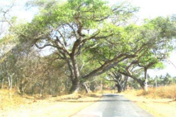
Take the Bengaluru (Bangalore) - Mysuru (Mysore) highway and took the Magadi road from Ramanagar. This road is smoother, though longer, compared to the usual path taken, which is Bengaluru - Magadi road and a left from Magadi, leading to Ramanagar. |
Best Time To Visit: |
| Early morning so that u can enjoy the cool breeze of morning |
Worst Time To Visit: |
| When it is raining since the place becomes a lot slippery and is difficult to trek through |
Difficulty Level: |
| Difficult for first timers |
Summary: |
|
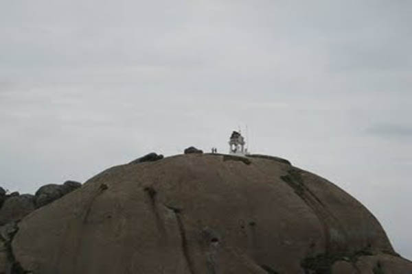
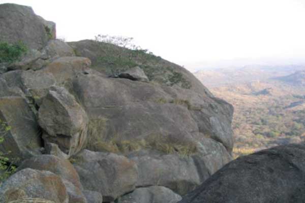
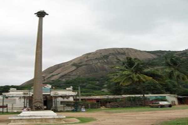
Savandurga (literally meaning the `fort of death') is a large monolithic rock about 60 kilometers away from Bangalore. If you are planning on getting there, take magadi road and drive straight down for about 40-45 kilometers, then look to your left for a gas station. There will be a sign in English pointing Savandurga to the left. Take the left and go straight for about 10 kilometers, and you will come to a settlement with quite a few temples. Park your vehicle there, and look for the power lines leading up the hill. Some words of advice, eat a full breakfast before you start on the journey, carry lunch with you (you will have to go to magadi for restaurants, though you will get some biscuits and juice cartons at the bottom), stretch well before you start the climb, wear good rubber soled shoes, walk in a zig zag manner if it is very steep |
Things To Look for: |
Things To Be Aware Of: |
| The climb up will be steep at places so got to be carefull |
References |
| http://usandeep.com/trekking/savandurga.html http://www.prashblog.com/2008/08/trekking-at-savandurga.html |
Important Phone Numbers : |
Permission: |
| No need |
SELECT YOUR HOLIDAY DESTINATION
-
Aero Sports in Karnataka
-
Archaeology in Karnataka
-
Beaches in Karnataka
-
Bird Sanctuaries in Karnataka
-
Bouldering Spot in Karnataka
-
Camping in Karnataka
-
Cave Explorations in Karnataka
-
Culturals Place in Karnataka
-
Dams in Karnataka
-
Districts Of Karnataka
-
Fairs in Karnataka
-
Festivals in Karnataka
-
Go-Karting in Karnataka
-
Hill Stations in Karnataka
-
Historical Places in Karnataka
-
Holiday Resorts in Karnataka
-
Islands in Karnataka
-
Landscape in Karnataka
-
Mountain Biking in Karnataka
-
National Parks in Karnataka
-
Orbit Network
-
Pilgrims Destinations
-
Para-sailing in Karnataka
-
River rafting in Karnataka
-
Rivers in Karnataka
-
Rock Climbing in Karnataka
-
Safari in Karnataka
-
Temples in Karnataka
-
Trekking in Karnataka
-
Water Sports in Karnataka
-
Waterfalls in Karnataka
-
Wildlife Sanctuaries in Karnataka