Arkavathy River
Arkavathy River |
About: |
.webp "DevOps Training With AWS")
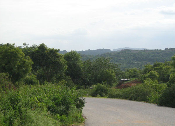
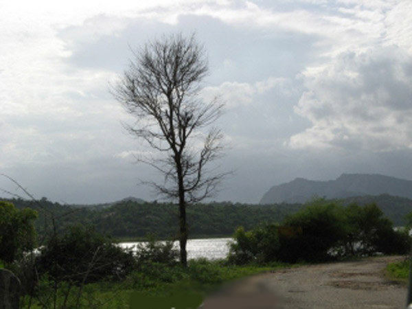
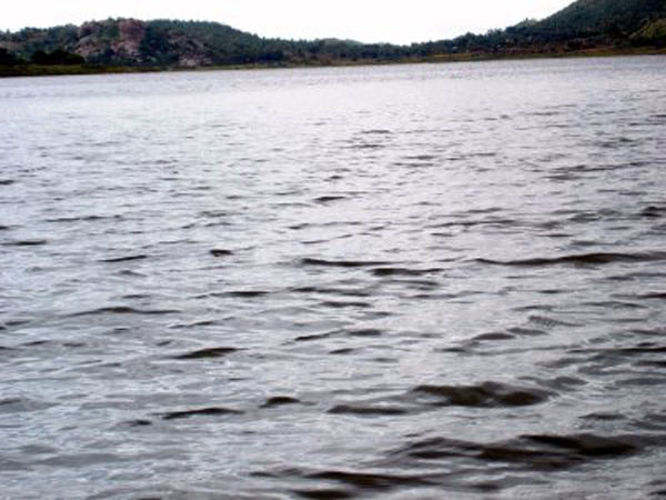
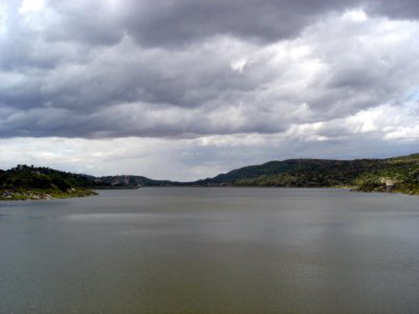
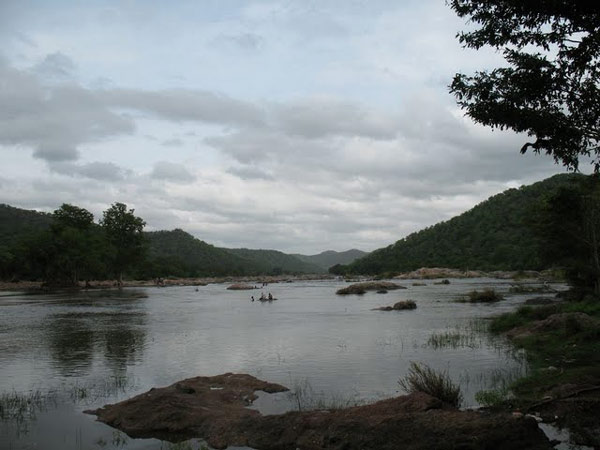
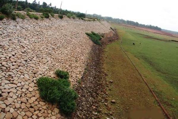
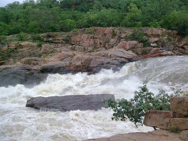
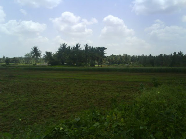
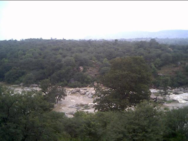
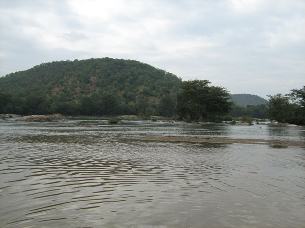
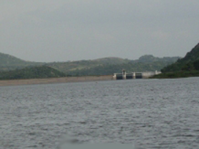
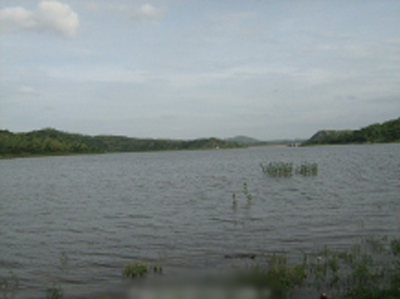
The Arkavathy River is a significant tributary of the Cauvery River in southern India. It flows through the state of Karnataka, mainly traversing through the Bengaluru and Chikkaballapur districts. The river is known for its picturesque landscapes and the ecological importance it holds in the region. |
Location info: |
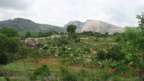
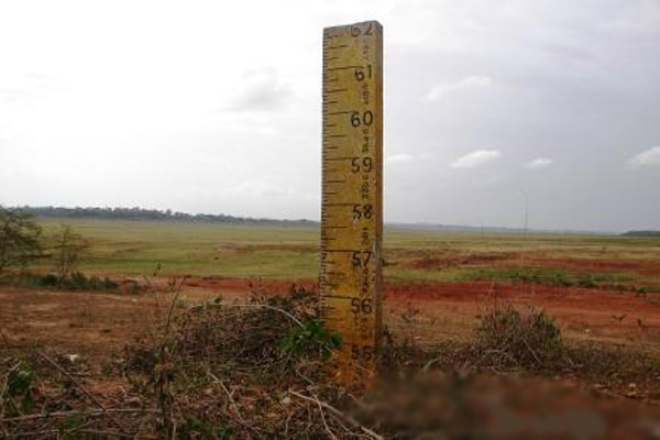
| Address:The origin of the Arkavathy River is traced to the southern foot of the Nandi Hills, which is 3000 meters above the sea level |
| District:Chikkaballapur district. |
| Nearest City:Kolar |
Climate/Weather: |
| The climate around the Arkavathy River varies with the seasons. Summers (March to June) can be quite hot, with temperatures soaring up to 35°C. Monsoon season (July to September) brings heavy rainfall, while winters (October to February) are mild and pleasant, making it an ideal time to visit. |
History: |
| The Arkavathy River has historical significance, as it has been mentioned in various ancient texts and is vital for irrigation in the surrounding agricultural areas. The river also played a role in the development of nearby settlements and towns. |
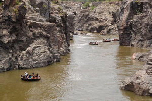
Interesting things to do: |
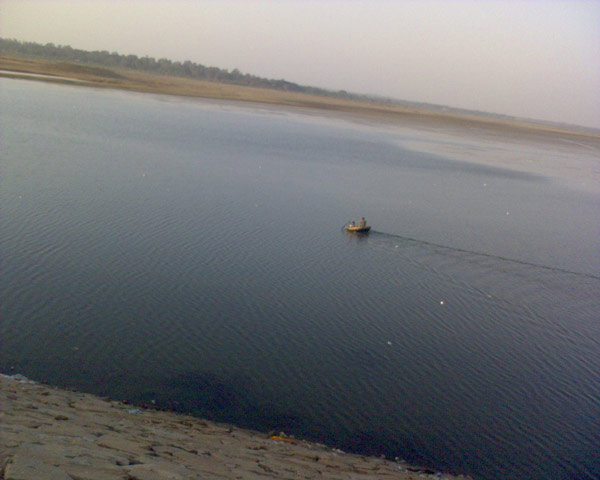
| Trekking and Hiking: Explore the beautiful trails along the riverbanks, especially around Nandi Hills. Bird Watching: The area is rich in biodiversity, making it a great spot for bird watchers. Fishing: Angling and fishing can be enjoyed in certain stretches of the river. Picnicking: The serene environment makes it a perfect location for family picnics. |
Interesting things to Visit: |
| The major temples in the town are the Kolaramma Temple and the Someswara Temple.
Someswara Temple is a fine example of the Vijayanagara style, complete with a
massive pillared Mukha Mandapa, heavy Prakara walls, ornate Kalyana mantapa, a
Devi Shrine and a lofty Gopura with fine stucco figures on the tower; while the
door frame is carved in the typical Vijayanagara style, with dwarapalas, etc.
The temple has a large tank (Kalyani) also. There are Vijayanagara inscriptions
on the wall of the store room and the yagashala, dated to 15th century A.D.
Kolaramma Temple: This 'L' shaped temple has two shrines, one for Durga (Kolaramma) and the other for the Saptamatras. Both have a common vestibule. The Durga Shrine has a wagon-roof tower. The stucco figures in the Saptamatras shrine are unusually large. The temple is of Dravida Vimana Style, built in the Ganga Tradition (11 century AD). The Mahadwara has imposing pavilions in the inner side. The temple contains several Chola inscriptions, the earliest belonging to Mr. Yendeti (1012-1045 AD). The crowning glory is the Karaga festival, which is celebrated in the town of Malur, about 30 miles away on the Bengalooru-Chennai highway. It throws a flood of light on the Thigala clan's Draupadi worship ritual called the Karaga festival. The Malur-based Karaga festival is celebrated over 13 days in the summer months, usually starting on the first Friday after the Ugadi New Year day. |
Mobile range info: |
| Most major mobile service providers have good coverage along the Arkavathy River and surrounding areas. However, remote areas may experience limited connectivity. |
How to reach? |
| Nearest Railway Station:The nearest railway stations are in Bengaluru, from where you can hire a taxi or take a bus. |
| Nearest Airport: Kempegowda International Airport in Bengaluru is the closest airport, about 40 km away. |
| Road Transport: The river is easily accessible via road from Bengaluru. State highways and local roads connect various towns along the river.. |
Nearest Petrol Pump: |
| There are several petrol pumps along the highways leading to the Arkavathy River. The nearest one can be found in Nandi Hills or on the route from Bengaluru to Nandi Hills. |
Hotels/Lodge/Accommodation: |
| Nandi Hills Resorts: Various resorts and lodges offer comfortable stays near Nandi Hills. Bengaluru: Numerous hotels and guesthouses are available in Bengaluru, catering to all budgets. |
Things to carry: |
| Water and Snacks: Keep yourself hydrated and energized during your visit. Comfortable Footwear: Essential for trekking and walking along the riverbanks. Sunscreen and Insect Repellent: To protect against sun exposure and insects. Camera: To capture the scenic beauty and wildlife. |
Tips & Suggestions: |
| Visit during the early morning or late afternoon to avoid the heat. Respect local wildlife and the natural environment. Always check the weather before planning your visit, especially during the monsoon season.; |
Help Line/Phone Number: |
| Police :100 |
| Nearest Hospital:Kolar |

Arkavathy River Nearest Attraction |
| Nandi hills |
| Nandi Hills is a hot favourite among Bangaloreans who find this an ideal get-away for weekends. The 1478-m high Nandi Hills is the originating point of many rivers.....more |
| Rangasthala Temples |
| Ranganatha Swamy Temple Situated in Chikkaballpura. It’s around 60kms from Bangalore. Chikballapur is the District Headquarters of the newly created District of Chikballapur in the State of Karnataka, India.Chikballapur is about 57 km north of Bengaluru (formerly Bangalore), the silicon plateau of India.....more |
| Vidurashwatha Temples |
| Vidurashwatha is a small village located in the Gauribidanur taluk of Chikkaballapur district in the state of Karnataka, India. Situated near the Karnataka - Andhra Pradesh border and about 6km from Gauribidanur, it had a major role to play in the freedom movement of India.....more |
| Nandi Archeology |
| At the foot of Nandi hill and its fort , 60 km from Bangalore, is a temple reflecting the Noramba style. In the 16th century there was a big open mandapa in the front with small ....more |
| Penner River |
| The Pennar (also Penner, Penna or Penneru) is a river of southern India. The Penner rises on the hill of Nandi Hills in Chikballapur District of Karnataka state, and runs 560 km (350 miles) north and east through the state of Andhra Pradesh to empty into the Bay of Bengal.....more |
SELECT YOUR HOLIDAY DESTINATION
-
Aero Sports in Karnataka
-
Archaeology in Karnataka
-
Beaches in Karnataka
-
Bird Sanctuaries in Karnataka
-
Bouldering Spot in Karnataka
-
Camping in Karnataka
-
Cave Explorations in Karnataka
-
Culturals Place in Karnataka
-
Dams in Karnataka
-
Districts Of Karnataka
-
Fairs in Karnataka
-
Festivals in Karnataka
-
Go-Karting in Karnataka
-
Hill Stations in Karnataka
-
Historical Places in Karnataka
-
Holiday Resorts in Karnataka
-
Islands in Karnataka
-
Landscape in Karnataka
-
Mountain Biking in Karnataka
-
National Parks in Karnataka
-
Orbit Network
-
Pilgrims Destinations
-
Para-sailing in Karnataka
-
River rafting in Karnataka
-
Rivers in Karnataka
-
Rock Climbing in Karnataka
-
Safari in Karnataka
-
Temples in Karnataka
-
Trekking in Karnataka
-
Water Sports in Karnataka
-
Waterfalls in Karnataka
-
Wildlife Sanctuaries in Karnataka